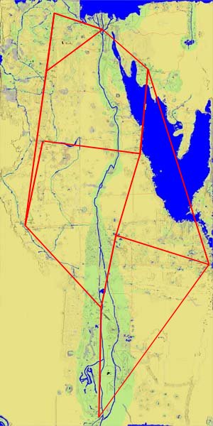
The Coordinates and Region are as indicated on the F3 popup.
The District indicates the feedback from the test menu
- X of 2 East/West
- Y of 8 North/South
The sort order is
- Top to Bottom (North to South)
- Left to Right (West to East)
|
F3 Map Location
Region
District
Landmarks in the Area |
| F3 Map Location | Region | District | Landmarks in the Area |
| -982 7669 | PB | 18 | Just East of the Chariot Stop |
| 1032 6958 | ND | 28 | Just East of Sunset Pond |
| -1310 5420 | VOK | 17 | just SW of the Chariot Stop |
| 2620 5527 | Sinai | 27 | just SW of the Chariot Stop |
| 1008 2478 | RSO West | 16 | West of the Nile, on the Ramp up to the Papyrus Drying Complex |
| 2302 2341 | RSO Central | 26 | Just a bit North of the Chariot Stop |
| 36 4 | DoS | #15 | Near the Friends of Mihe Voting Booth |
| 2333 2043 | RSO South | 25 | Near the SBody |
| -2110 -466 | FP | 14 | Just West of the Chariot Stop, near the Reflecting Pools |
| 1400 -812 | Karnak | 24 | just North of the Chariot Stop |
| 829 -3641 | LN | 13 | just North of the Chariot Stop |
| 4972 -2072 | CotS | 23 | On the road Sourth from the Chariot Stop |
| 674 -4439 | LN | 12 | South edge of Lower Lake Village |
| 1964 -4839 | LN | 22 | near the midlake voting booth |
| 688 -7808 | UN | 11 | between the Chariot Stop and the Scarab Garden |
| 1161 -7656 | UN | 21 | near the spiral bridge |