Overview
Location maps plot the position of items on a map of the game. Location maps require a browser with support for CSS absolute positioning, and have some features that require JavaScript. It works on the browsers I've tested it on, but I'm quite certain that it'll break on older ones.
Mouse over the location indicators to pull up a description of that item.
To create a location map, start with a table. The first row of the table should contain column labels; one of these labels should contain the word "location". Subsequent rows of the table should contain coordinates in the location column. Coordinates should take the form "####, ####"; do not add any extra text, and do not surround them with () or other decorations.
Insert the location map into the page by including "$MAP" by itself on a line.
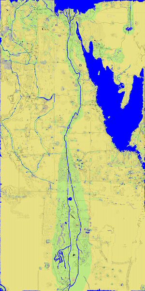
Maps are stored as attachments on the maps page. By default, the location map will use the attachment named "egypt"--a map of all Egypt. You may specify a different default map by adding it to the map line: "$MAP upper". You can even give a map on a different page: "$MAP PageName$attachment".
Maps must have a description which contains the coordinates of the southhwest and northeast coordinates of the map in the form "(####,####)-(####,####)".
Discussion
Add commentary on this feature here, including bug reports or suggestions.
Yllamana: Could we have a way to customise the colour of each mark on the map (i.e. not always red)? This would be very useful for things like gem and ore maps that would be extremely difficult to read as a unified map at this point. With colours we could easily chart the different gem types and collate them into an easily readable resource.
Djehutmose: "You may specify a different default map by adding it to the map line: "$MAP upper"" doesn't work for me, I get "Error: Illegal division by zero at /home/httpd/vhosts/atitd.net/subdomains/wiki/guild/tale2/plugins/map.pl line 162.".
Zignotrop: Specifying a different default map works only if you use the exact same name from the first column of the Maps page. Aka Karnak, LowerNubiaCentral, RSO.jpg or chariot_routes.jpg (yes, exact name, this mean use the .jpg in the name only if specify in the first column).
Example
| Location | Description | Arbitrary Column Name |
| 0, 0 | Red sand | Descriptive text |
| 1276, 4018 | Liberty Bridge | More text |
| -1460, 3715 | White sand | White Sand |
| 6000, 12000 | Invalid coordinates | Way out there! |
|
Location
Description
Arbitrary Column Name |