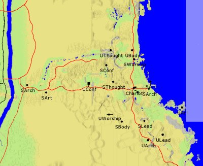
Note that this route would go through several people's camps. We need to make sure they agree to the route before building.
Approximate total cost for the 36 towers in this route (including costs to raise to the required heights; excluding cost to raise the pump):
- 36 Cisterns
- 180 Copper Pipes
- 7,200 Black Raeli Tiles
- 3,600 White Raeli Tiles
- 1,800 Yellowish Raeli Tiles
- 1,800 Greenish Raeli Tiles
- 1,800 Bluish Raeli Tiles
- 9,654 Concrete
- 720 Tar
- 4,548 Cut Stones
- 225,350 Bricks
- 267 Pipe Segments
If the pump were raised to 220 foot, we could go about 80 coords further towards the Chariot Stop. Since all towers would have to be raised as well, the cost for this would be considerable. If there is any interest, I can calculate what this extra cost would be exactly.

|
What
Location
Notes
Elevation |
| What | Location | Notes | Elevation |
| Pump | 1540, 2250 | Near Starr's camp | 1' 0'' |
| Tower 1 | 1550, 2267 | 9' 10'' | |
| Tower 2 | 1560, 2285 | 34' 10'' | |
| Tower 3 | 1570, 2302 | 73' 10'' | |
| Tower 4 | 1579, 2319 | 77' 0'' | |
| Tower 5 | 1599, 2320 | 61' 1'' | |
| Tower 6 | 1620, 2320 | Right next to Thurgret's camp | 38' 7'' |
| Tower 7 | 1640, 2320 | Other side of Thurgret's camp | 9' 10'' |
| Tower 8 | 1660, 2320 | 9' 10'' | |
| Tower 9 | 1680, 2320 | Near Red Sea Oasis mosaic table | 11' 6'' |
| Tower 10 | 1700, 2320 | 1' 3'' | |
| Tower 11 | 1720, 2320 | Near vineyards (Golden Arrow) | 12' 0'' |
| Tower 12 | 1740, 2320 | 21' 1'' | |
| Tower 13 | 1760, 2320 | 9' 10'' | |
| Tower 14 | 1780, 2320 | 6' 10'' | |
| Tower 15 | 1800, 2320 | 9' 10'' | |
| Tower 16 | 1820, 2320 | 9' 10'' | |
| Tower 17 | 1840, 2320 | 105' 7'' | |
| Tower 18 | 1850, 2302 | 89' 11'' | |
| Tower 19 | 1860, 2285 | 40' 0'' | |
| Tower 20 | 1880, 2285 | 51' 6'' | |
| Tower 21 | 1900, 2285 | 37' 2'' | |
| Tower 22 | 1920, 2285 | 27' 3'' | |
| Tower 23 | 1940, 2285 | 25' 3'' | |
| Tower 24 | 1960, 2285 | 21' 6'' | |
| Tower 25 | 1980, 2285 | 23' 4'' | |
| Tower 26 | 2000, 2285 | 22' 6'' | |
| Tower 27 | 2020, 2285 | 21' 8'' | |
| Tower 28 | 2040, 2285 | 12' 5'' | |
| Tower 29 | 2060, 2285 | 29' 0'' | |
| Tower 30 | 2080, 2285 | 41' 8'' | |
| Tower 31 | 2100, 2285 | 35' 5'' | |
| Tower 32 | 2110, 2268 | 28' 8'' | |
| Tower 33 | 2130, 2268 | 12' 8'' | |
| Tower 34 | 2150, 2268 | 12' 9'' | |
| Tower 35 | 2170, 2268 | 12' 7'' | |
| Tower 36 | 2190, 2268 | 12' 9'' |